
Transfer routes on Siargao
Route guides tell you what a journey actually involves. They deliberately carry no prices or timings — those come back with your quote, for your date and your group.
Where everything is on the island
Siargao is one island with one road network. Sayak Airport sits inland in Del Carmen on the west side, and almost every arrival crosses to General Luna in the south-east; Dapa Port, on the south coast, is the sea-arrival counterpart. The lines are real island roads, and the published route guides below now cover both arrival gateways as well as the longest north-end runs.
- Arrival gateways — Sayak Airport (IAO) in Del Carmen, and Dapa Port on the south coast
- Places we drive to — tap a marker for that destination guide
- Reached by boat — no road goes to Sugba Lagoon or Sohoton Cove — both need a boat leg planned in
- Island roads — hover or tap a line, a marker or a route card to trace it
Coastlines and marker positions are drawn from official Philippine boundary data; the roads follow OpenStreetMap. Both are projected into the page at build time, so no map service is loaded when you view it — see credits.
Route guides
The published guides cover the island's main transfers. More are being written; in the meantime, ask for any journey on the island and we will quote it.

General Luna → Magpupungko
The island’s one trip where the tide, not the clock, sets your pickup time — a road transfer north from General Luna to the tidal pools at Pilar.
Read more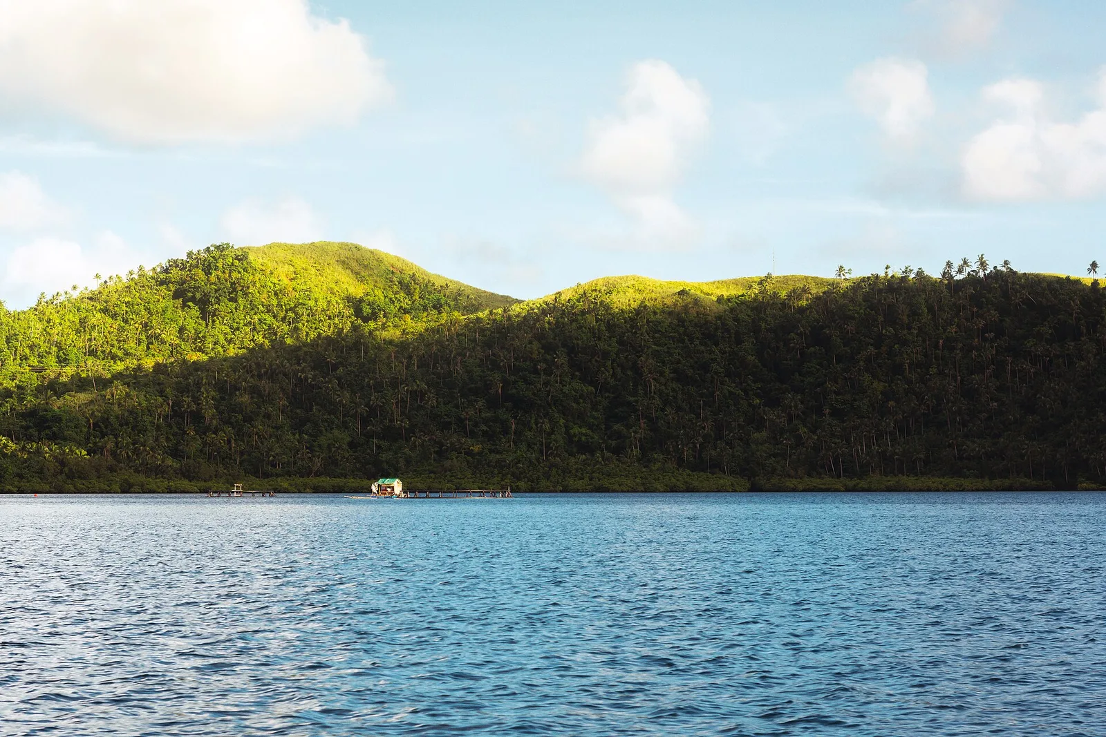
General Luna → Sohoton Cove
The road transfer from General Luna to Dapa that starts a Sohoton Cove day — and how to check whether you need it at all.
Read more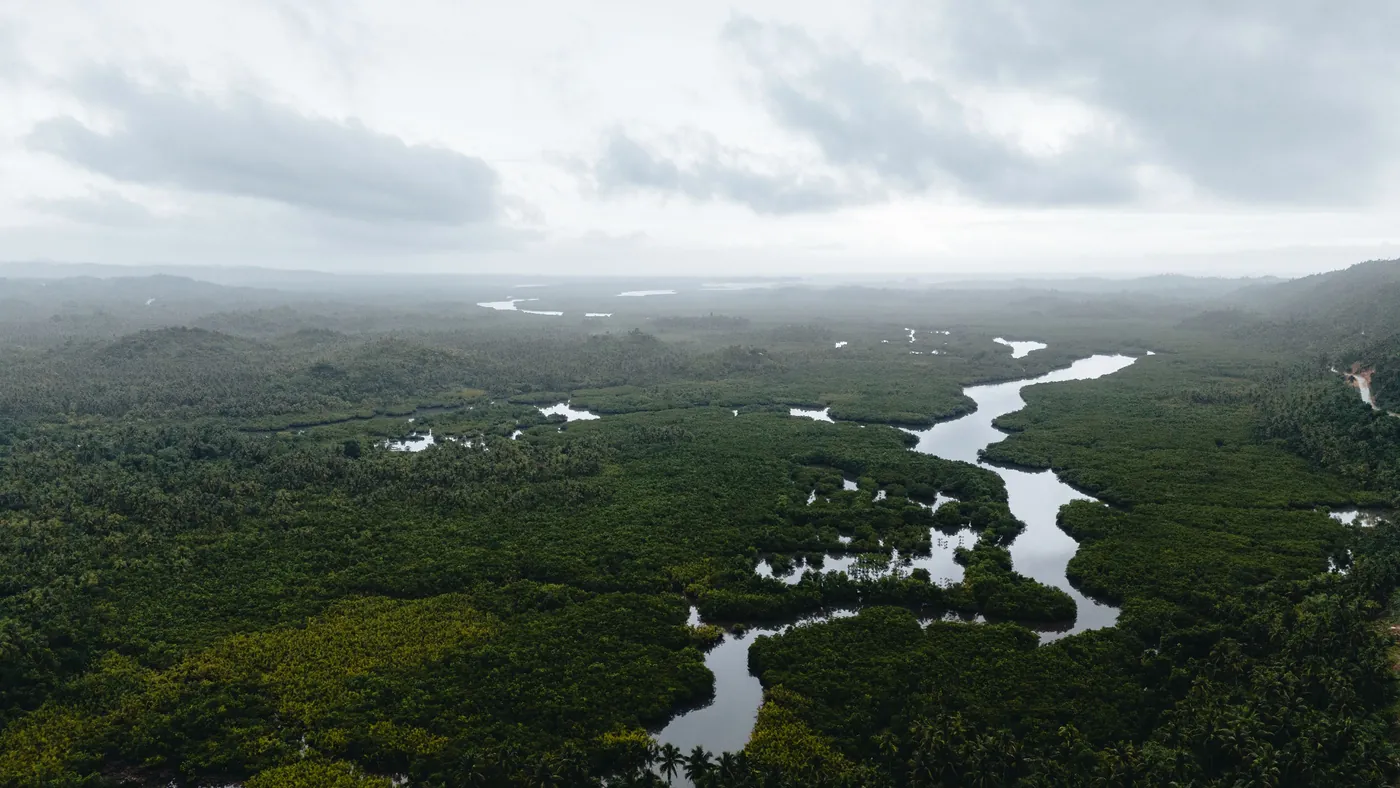
General Luna → Sugba Lagoon
A joined-up road-and-boat trip from General Luna to Del Carmen port and onward through the mangroves to the lagoon.
Read more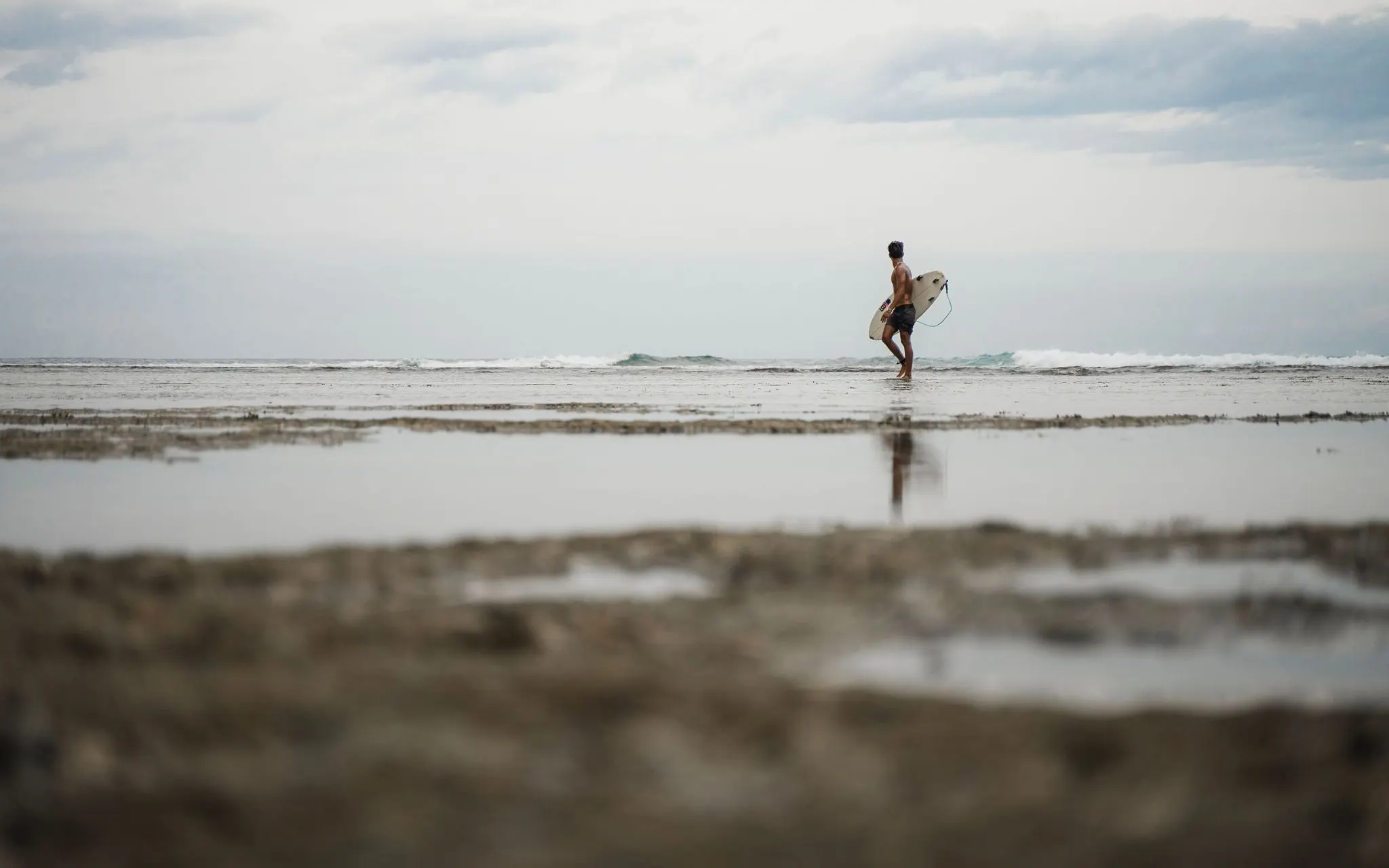
General Luna → Pacifico / Burgos / Santa Monica
The long cross-island transfer from Siargao’s main stay base to the north end, where the surf-town shortcut is not specific enough for a real quote.
Read moreDapa Port → Pacifico / Burgos / Santa Monica
The long ferry-arrival transfer from Siargao’s main seaport to the north end, where naming the exact town matters before you sail.
Read more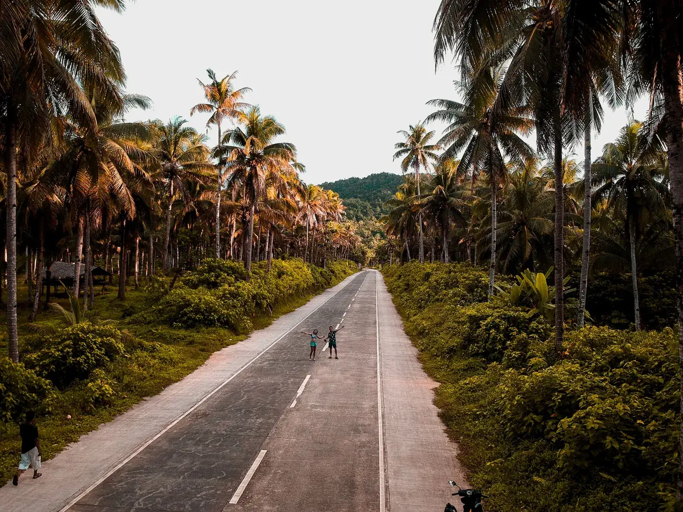
Dapa Port → General Luna
The road leg after a ferry arrival — from Siargao’s main seaport to the island’s main visitor town.
Read moreSayak Airport → Pacifico / Burgos / Santa Monica
The long north-end transfer from the airport to Pacifico, Burgos or Santa Monica, where naming the exact town matters before you land.
Read moreSayak Airport → General Luna
The transfer almost every Siargao trip starts with — island airport to the main visitor town, met on arrival.
Read moreSayak Airport → Del Carmen
The arrival where you have already landed in the municipality you are heading for — and still need a transfer, because the airport is not the town and Del Carmen is the biggest municipality on the island.
Read more
Sayak Airport → Pilar
The arrival that crosses the island — from the airport on the west side to the quiet east coast, where the road you take depends on which part of Pilar you are actually going to.
Read moreDapa Port → Del Carmen
The ferry arrival for the mangrove side of the island — and the one transfer on Siargao where saying “the port” can mean either end of the journey.
Read moreDapa Port → Pilar
The ferry arrival for Siargao’s east coast — from the municipality Pilar used to be part of, to the one it became in 1953.
Read moreGeneral Luna → Sayak Airport
The departure leg — the one journey on this island that runs to a deadline you do not set, timed backwards from a check-in counter that closes without you.
Read more
General Luna → Dapa Port
The sea departure — the road leg to the ferry terminal for Surigao City, timed to a sailing whose schedule we deliberately do not publish.
Read morePacifico / Burgos / Santa Monica → Sayak Airport
The island’s longest road transfer, run in the one direction that has a deadline — from the north end to an airport whose tightest hour is the departure one.
Read more
Pacifico / Burgos / Santa Monica → Dapa Port
The sea departure from the far end of the island — the longest road leg to the ferry, and the one journey where we will tell you to check whether you want it at all.
Read morePlaces on the map
Arrival gateways
Reached by road
Reached by boat
Tell us your trip. Get a fixed price.
It takes under a minute. No account, no payment now, no obligation — just a clear, all-in quote from someone who actually drives these roads.
- Free & no-obligation — quote first, decide later
- Reply by email from a real person on the island
- Fixed, all-in pricing for the right-sized vehicle
- Your details are used only to prepare your quote
Ready when you are.
Send us the trip and we'll send back a fixed price. No account, no deposit to ask, no obligation.